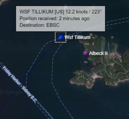
Over the last 5 or more years, I have used the Boatbeacon AIS App on my android phones.
I live on the waterfront on Saltspring Island, where there is shipping traffic. I frequently check my phone to see who is going past. Sometimes I get a surprising result.
Just now, I noted a towboat taking a self dumping log barge, fully laden, in the wrong direction. Wrong, in the sense that I frequently see loaded log barges heading for Crofton, where there is a ship loading facility that loads up ships bound for Asia with precious BC timber. This time, the barge load is heading South past my home, AWAY from Crofton. Now this one may have come from way up north, the AIS information puts in a destination of Coos Bay Oregon, but no point of origin.
I then loaded up Marine Traffic on my laptop, to see if there is any additional information. No luck there. The speed is different, 5.1 knots on MT v 4.9 on BB, but less descriptive info on MT.
I loaded up the track on BB and can now see that the voyage originated at the log dump in Crofton after all. What can that mean? Was there a contract dispute? Was the load originally destined for Crofton, got there and disagreed on the price so left? Maybe a buyer in Coos Bay wanted to pay more than the PRC?
Curiously, the MT position information was about 5 minutes out of date. As I look out my front window, the tug is a couple of miles down Trincomali channel. BB has it in the correct position, MT has it still up channel from my house. I thought MT was supposed to report position information at least every 2 minutes from a class B, or with a commercial A AIS, much more frequently than that. BB is harder to know just what the frequency of update is, but for BB to be right on the money and MT not, is curious.
Or maybe I just don't now enough about AIS.

 That's what we've done - it IS fun to put it out to family so if they're curious they can see what we're up to, and MT (if/when we're in coverage) can send them a notice that we've arrived in a port of call.