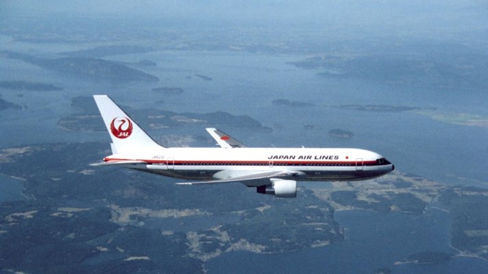
Carey and I keep our boats in Squalicum Marina in Bellingham Bay.* While going through some old film footage tonight for a video I'm producing for the delivery ceremony for Japan Airlines' first 787 I came across some air-to-air footage we took of a JAL 767 back in the 1980s. One of the scenes is of the plane as it flew over the San Juan Islands.* At one point the plane was out in front of Bellingham Bay.
People up here know the bay well but I thought I'd grab a still from the video and put it up so poeple not familiar with the area can see what it looks like.
The bay itself is in the upper center of the frame.* Bellingham and its marina are tucked back behind the point near the head of the bay on the right side.* The large island on the left side of the bay that looks a bit like the Lock Ness monster is Lummi Island.*
If our destination is in the central or southern San Juans our first waypoint after leaving the marina is at the near end of narrow island in the mouth of the bay (it looks like two islands but what looks like a small island to the left is actually part of the same island joined by the flat section between them).* The distance from the marina entrance to this waypoint is about 8 nautical miles.
Guemes Island is the one the tail of the plane cuts over.* The harbor town of Anacortes is across the narrow channel to the south and is visible just aft of the left wing of the plane.* The largest marina in Anacortes, Cap Sante, is in the upper left corner of the bay that shows a bit above the fuselage aft of the wing.
Most of the San Juan islands lie out of frame to the left of the photo.
The prevailing winds, particularly in the winter, blow into the bay more or less from the direction marked by the airplane's nose which would be a southwest wind.* In the summer the wind often comes from the northwest.
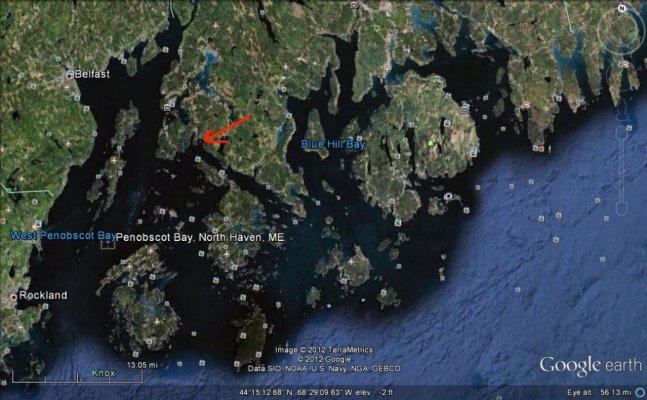
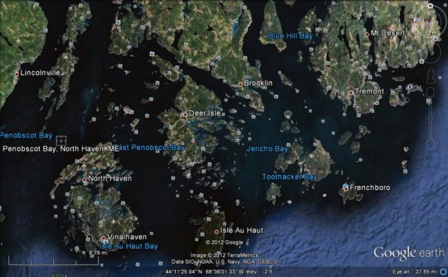
So that's what Carey and my neck of the woods looks like.* If anyone has similar views of their neck of the woods---- particularly Dave up in Maine--- it would be neat to see them.

