- Joined
- Oct 6, 2007
- Messages
- 847
- Location
- Poulsbo, WA
- Vessel Name
- Dream Catcher
- Vessel Make
- Nordic Tug 37-065
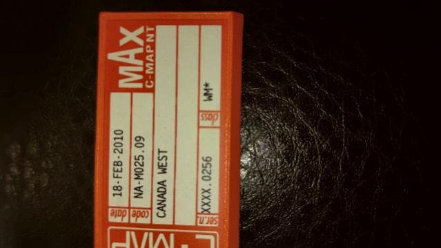
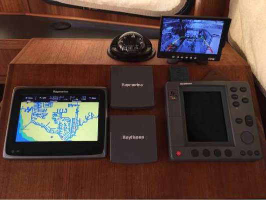
New-to-me 2002 Nordic Tug 37 has a Raymarine 631 chartplotter. I plan to use Coastal Explorer as primary chartplotter, but would like to have chart cards for the 631 as backup.
Currently have: NA-C801 Dixon Entrance to Icy Bay (covers SE Alaska). NA-C701 Olympia to Port Neville (also described on eBay as Olympia to Lasqueti Island). NA-C621.5 Puget Sound to Cracroft Island. Strange overlap...
Have seen on eBay NA-C705 Banks Island to Sumner Strait - which would not cover all of the north coast of BC, and yet goes up through a good part of SE AK.
I have not been able to find a chart card catalog which lists the C-Map NT or NT+ cards and what they cover. Does anyone know what NT or NT+ card(s) would cover BC from Port Neville up to Prince Rupert? Anyone have one lying around that they no longer need?


