MurrayM
Guru
Read these posts in the "Victoria BC to Portland, Or" thread and thought it might make for an interesting discussion because of the varied landscapes TF members live in:
We live on BC's north coast at the head of a 60 mile long channel that cuts into the Coast Mountains. It's off the Inside Passage, which because of the topography has some weird currents.
Prior to getting Badger we sea kayaked for decades, where if you read the currents properly you get a boost to your speed over ground, but if you read them wrong you pay for the mistake in increased effort or get into wild water you weren't planning on.
Channels here are 500' to 1000' deep. If you think of the momentum that much mass has, you can visualize how the water will keep flowing in despite the tide starting to go down.
It's actually written on the waters surface on calm days. Have you ever noticed thin lines of white foam that parallel the shores of a channel? Have you noticed how they first form along the shoreline when the tide turns, then slowly move towards each other in mid channel?
They mark the line where the two opposing currents pass each other. When you paddle across them your bow takes a definite nudge one way or the other, and the line is so distinct you sometimes see twigs going around in circles. Watch the waves on windy days and you can see the difference there as well.
In bays things can get weird as old back eddies compete with new ones trying to set up. Speaking of weird; seeing where the incoming tide meets itself coming around a large island on a calm day is truly bizarre...there's broad band of jumpy little wavelets across the whole width of the channel in otherwise flat water. On charts it'll say, "tides meet"
Things are pretty straightforward here, in that once you can estimate how long a current will be moving contrary to the tide and can read signs on the waters surface, you can avoid lumpier conditions. We don't have bar crossings here, but knowing when slack occurs when crossing one must be vital!
I didn't catch that - there was another recent thread where there was confusion about low tide being synonymous with slack current (despite it being intuitive and related, they do not correlate). I forget if it was off Noyo River (Ft Bragg) or Coos Bay, but the USCG got pretty concerned about a mariner who could not get it through their skull that the times for slack water did not correlate with high tide (or low tide, I forget which).
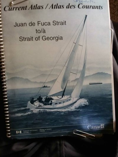
What do you use for Current? I opened up Coastal Explorer for the area and really only found tides. I also have an App on my android but also gives tides, not currents? Any suggestions?
Thanks
Peter
I know a few experienced boaters, even a licensed pro who can't get it through his head high and low don't necessarily coincide with slack. He even recommends only crossing bars at high slack, whatever he means by that because he doesn't understand the difference between high and slack.
I made a different kind of rookie mistake. Not reading the current graph correctly in OpenCPN.
Since Nobeltec bought and shutdown Tides and Currents software years ago I don't have any good recommendations for stand alone tide and current predictions.
To correct myself today I used NOAAs current predictions off the web.
We live on BC's north coast at the head of a 60 mile long channel that cuts into the Coast Mountains. It's off the Inside Passage, which because of the topography has some weird currents.
Prior to getting Badger we sea kayaked for decades, where if you read the currents properly you get a boost to your speed over ground, but if you read them wrong you pay for the mistake in increased effort or get into wild water you weren't planning on.
Channels here are 500' to 1000' deep. If you think of the momentum that much mass has, you can visualize how the water will keep flowing in despite the tide starting to go down.
It's actually written on the waters surface on calm days. Have you ever noticed thin lines of white foam that parallel the shores of a channel? Have you noticed how they first form along the shoreline when the tide turns, then slowly move towards each other in mid channel?
They mark the line where the two opposing currents pass each other. When you paddle across them your bow takes a definite nudge one way or the other, and the line is so distinct you sometimes see twigs going around in circles. Watch the waves on windy days and you can see the difference there as well.
In bays things can get weird as old back eddies compete with new ones trying to set up. Speaking of weird; seeing where the incoming tide meets itself coming around a large island on a calm day is truly bizarre...there's broad band of jumpy little wavelets across the whole width of the channel in otherwise flat water. On charts it'll say, "tides meet"
Things are pretty straightforward here, in that once you can estimate how long a current will be moving contrary to the tide and can read signs on the waters surface, you can avoid lumpier conditions. We don't have bar crossings here, but knowing when slack occurs when crossing one must be vital!
Last edited:


