I went looking for this picture to put up for Northern Spy.
In doing so, I realized all you folks who boat in BC waters would have little idea just how much junk there used to be in the water before logging became practically extinct.
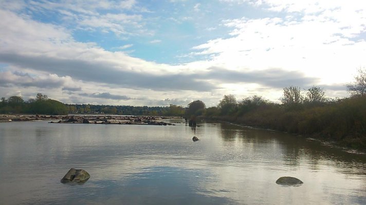
This is Myrtle Point looking "north" to Grief Point with Harwood Island in the deep background.
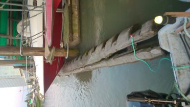
The driftwood shown here depicts what, maybe a hundred feet of beach, max?
All of that wood would have been put there over the winter; washed up with the prevailing SE winds and large tides. That 100 feet of beach represents what most of the BC coast was like in the logging hay days.
Now, imagine the high June tides taking almost all of it back to sea and you get an idea of what we had to navigate.
How many pods you think would make it through that crap?
Also, seeing two or more booms going by at any given time was the norm. Forecasting was pretty much by eyeball and barometer so these guys got caught out in it all the time. When she blew they headed for any lee they could find and places like Blind Bay between Nelson and Hardy Islands would be jammed up with tugs and booms. Grief Point to Westview, same thing.
Keep in mind they travelled at just a couple of knots; slow enough for us kids to catch them in a rowboat, so shelter was often hours away. Many times booms would break up adding to the flotsam, creating big paydays for beachcombers and supplying us with winter wood.
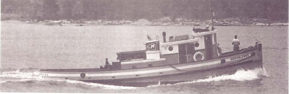
Now...Spy...the tug on the right of the picture (also the B & W pic) was Hornblower which always approached Myrtle Point as close to shore as possible to take advantage of currents. Every once in a while it didn't work, the boom got hung up on the beach and they had to wait for the tide to float it again. Sometimes they would just tie alongside the boom, shut 'er down and walk ashore for a visit.
In doing so, I realized all you folks who boat in BC waters would have little idea just how much junk there used to be in the water before logging became practically extinct.
This is Myrtle Point looking "north" to Grief Point with Harwood Island in the deep background.
The driftwood shown here depicts what, maybe a hundred feet of beach, max?
All of that wood would have been put there over the winter; washed up with the prevailing SE winds and large tides. That 100 feet of beach represents what most of the BC coast was like in the logging hay days.
Now, imagine the high June tides taking almost all of it back to sea and you get an idea of what we had to navigate.
How many pods you think would make it through that crap?
Also, seeing two or more booms going by at any given time was the norm. Forecasting was pretty much by eyeball and barometer so these guys got caught out in it all the time. When she blew they headed for any lee they could find and places like Blind Bay between Nelson and Hardy Islands would be jammed up with tugs and booms. Grief Point to Westview, same thing.
Keep in mind they travelled at just a couple of knots; slow enough for us kids to catch them in a rowboat, so shelter was often hours away. Many times booms would break up adding to the flotsam, creating big paydays for beachcombers and supplying us with winter wood.
Now...Spy...the tug on the right of the picture (also the B & W pic) was Hornblower which always approached Myrtle Point as close to shore as possible to take advantage of currents. Every once in a while it didn't work, the boom got hung up on the beach and they had to wait for the tide to float it again. Sometimes they would just tie alongside the boom, shut 'er down and walk ashore for a visit.