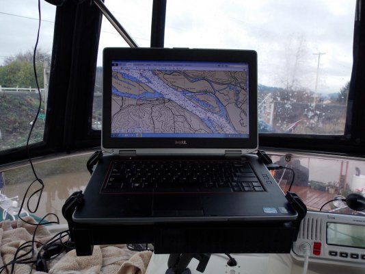
I will not have access to the internet most times....
None of the dedicated navigation equipment on our PNW cabin cruiser is capable of connecting to the internet or displaying Active Captain data.
However, we have a couple of iPads, my iPad II and my wife's newer iPad Mini. As we have a shared data plan, both the iPads have an application called Navimatics on them. This is a very good charting application. It is
NOT a navigation application although you can put a Point A to Point B straight-line course in it and follow that. But it doesn't store waypoints, make and store multiple-leg routes and so forth like an actual plotter.
It will track your position across the chart and it will leave a dotted line track behind you if you so desire.
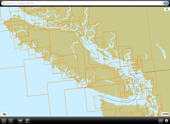
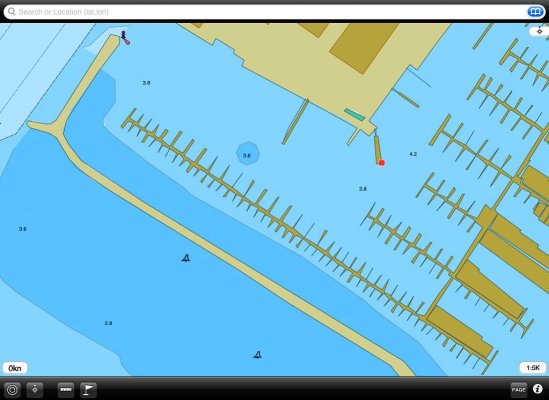
Navimatics was one of the earlier charting applications capable of downloading, storing, and displaying the Active Captain data base. As such, it has become a very valuable tool for us. We use it as one would use a stack of charts to quickly get the big picture or focus in on a detailed look, something that can be time consuming to do on an actual plotter. With Navimatics and the iPad, one can zoom from a view of the entirety of Vancouver Island and then some into a detailed shot of just our portion of our home harbor with a couple of finger swipes.
The chart displays also have tide and current stations that can be tapped to get this information.
And as our iPads are both wifi/digital models they have stand alone GPS receivers so will track us anywhere on the planet with no connectivity at all.
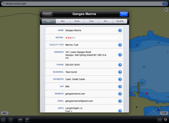
As Larry said, you can download the Active Captain database when you have connectivity, either to an iPad or a laptop or whatever. The device will retain the data base from then on--- you don't have to have connectivity to use it. You do to update it, but not to simply use it.
The Navimatics app we purchased (I think it was about $25) covers the entire west coast of the US and BC and all of Alaska and Hawaii.
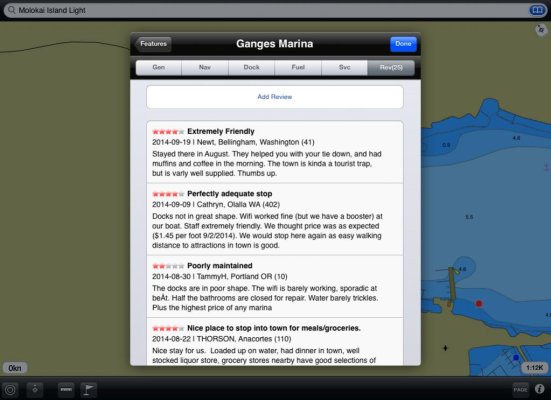
The screen grabs below illustrate from top to bottom the maximum area of coverage, the minimum area of coverage, the harbor at Ganges on Saltspring Island, the Active Captain info page on Ganges Marina and the review page for the marina. The little colored squares on the chart displays are the data points for Active Captain. Tap these and the Active Captain information screens appear as in the last two screen grabs below. The color of the square indicates the type of information it will bring up--- facilities, navigation, hazards, etc.
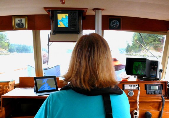
The last photo is our setup at the helm when we're underway.


![Screenshot_2015-12-04-19-56-13[1].jpg](/data/attachments/43/43541-7e8e355c2741289ae58573161219412b.jpg)
