STOWAWAY
Member
What a fabulous adventure. Enjoy all there is, including a few AA
If you get tired of the PMN dock, you could move up to Clam Cove on Nigei island, which has good protection from all winds and is 17 miles from Cape Caution. We use it a lot, both going up and down.
Found it on Google maps. not named on my marine charts either......
Delfin, That's the spot...thanks, Mike. Very good cover, and handy for going up. Maybe 4 miles from Pine Island. You're a big boat and it's narrow going in. There's enough water for you at low tide if you're careful and go slow, but for your size, a mid tide or better would be best. Once you're inside, there's ample room for maybe four big boats.
Yes we were. Fireworks in the fog and rain! Still a great time....Commercial crabbing is big in the Wrangell area, which didn't help your efforts at Thoms.
Weren't you and Crusty at Wrangell for the 4th of July last year? They always have a big hoopla there.
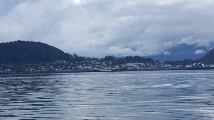
Can't complain about the seas. Smooth water ahead, Wrangell to the sternView attachment 89791We are leaving Wrangell this morning and heading to Redbluff Bay, then later Sitka. Be off grid for a few weeks.
This happened last night. This is going to be fun getting out of the moorage.

Commercial crabbing is big in the Wrangell area, which didn't help your efforts at Thoms.
Weren't you and Crusty at Wrangell for the 4th of July last year? They always have a big hoopla there.
Actually, it was 2 years ago. And even though the rain and fog dampened the fireworks show, the parade and other festivities the following day made up for it. Nothing like a small town to go all out to celebrate the holiday.
We enjoyed meeting Tom, and Kay in Wrangell yesterday. The photos are of them departing Wrangell this morning. We hope to see more of them along the way.
I found the Ilwaco article @ Coast River Business Journal 3/12/19.
We are leaving Wrangell this morning and heading to Redbluff Bay, then later Sitka. Be off grid for a few weeks.
This happened last night. This is going to be fun getting out of the moorage.

Dave, I saw you passing our home on your departure from Ketchikan. We live abeam of Pond Reef marker. Your were bucking a Westerly. Told the wife, damn, I really hope he is a single without a chief mate or admiral on board bucking that wind and chop. Did it mellow past Camano? usually the case. Will keep an eye out for your South bound leg, meanwhile keep an eye on Tom and his crab pots.
Nope, Al, we hammered all the way to Tolstoi Pt.. Good thing Thorne bay has lots of fresh water, and no restrictions on boat washing.
Word to the wise. If your craft is in the 36-34 foot 7-8 knot range, one is very wise to depart Ketchikan at 04:AM in order to make Meyers Chuck, a point of refrence of weather having picked up to have masters asking if that is enough. Camano Point, due to tidal flow from three angles, causes grief from Guard Island to mid-way Ship Isl. A early departure will assure good water till around 10:AM when winds will begin to increase. Both SE and NW winds are involved.
South bound for same class of boat, Depart either Meyers Chuck or Thorne Bay the suggested departure hour is recommended.
Extreme high tides also affect the tidal flow at Camano and should be taken into account.
Al Johnson- years of facing this route in a 28 foot boat and having been caught. Not friendly.
Good advise from a lifelong Ketch resident who knows these parts well. Al watched me last year heading up in the same conditions. It was crash and bash up Clarence til we got to Ship island, and then it really got rough.
 Where are you in the route of things? Will have the AA on ice knowing.
