I like a Garmin marine hand held GPS connected by USB cable. Fewer points of failure that blue tooth. Let me put a plug in for redundant redundancy.
1 – A hardware based system of your choice. Furuno, Garmin, Raymarine. Whatever looks good to you.
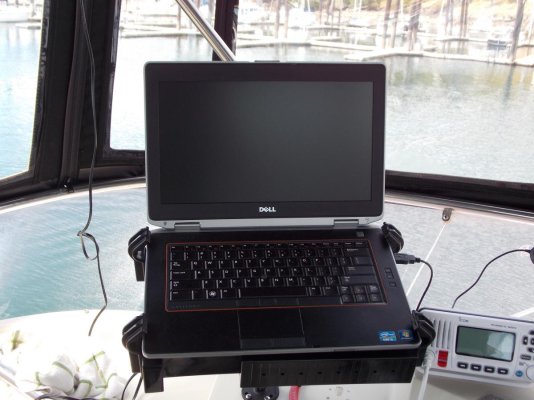
2 – A laptop based system. Running software of your choice. Taking position data from a GPS via USB. I say USB because the interface is a cord not relying on batteries or wifi signals as does Bluetooth.
3 – For the GPS I use a “real” GPS. The reason is with your routes and waypoints pre-loaded it provides the final fail safe redundancy.
4 – At least a minimal set of paper charts along with the tools and skills required.
Choose a GPS that comes with the ability to upload/download .GPX format. Same for the software. Best of all is if your hardware system can also easily upload waypoint & route data.
When planning a voyage I “draw” my routes and waypoints in the laptop's software. Save As .GPX to the laptop's HD. Upload to the GPS and hardware based plotter.
So, in the event of failure of the main hardware system or failure of the boat's electrical system when I loose my main system the laptop is ready to go. Depending upon the laptop I can count on 3+ hrs of built in battery time. Remember charting software eats batteries. 3 hrs will often be enough time to reach safe harbor, safe anchorage or fix the problem. If I'm further out from safe harbor than the laptop will run I drop down to the GPS. My current hand held GPS is good for up to 20 hrs on a set of AA alkaline batteries. I navigate to within an hour or two of the entrance where charting software really comes into it's own then I fire up the laptop and arrive in style.
A marine handheld GPS is a rugged device. It can take dousing from salt water spray and some drops to the deck. Not so a laptop.
I didn't mention tablets and smart phones for a couple of reasons. The first being they are no more rugged than a laptop. The second is a bit sneaky. A “real” GPS prioritizes accuracy over time to fix or when the signal is weak. Many tablets and smart phones prioritize time to fix over accuracy using cell tower locations to speed the process. But they don't tell you when they are using what. That works fine when using road navigation software, the system can almost always “snap to” the correct road. But when I'm making a narrow entrance with a following sea I want to know what I'm seeing is accurate.

