Wil
Senior Member
- Joined
- Jul 8, 2013
- Messages
- 187
- Location
- US
- Vessel Name
- Gone Walkabout
- Vessel Make
- 1999 KadeyKrogen 39
This is about my fourth installation of OpenCPN Stable Release 4.4.0 on my 2009 Windows 7 Home Premium/Service Pack 1 machine. I did it by the book--I even disconnected the internet cable as advised by OpenCPN.
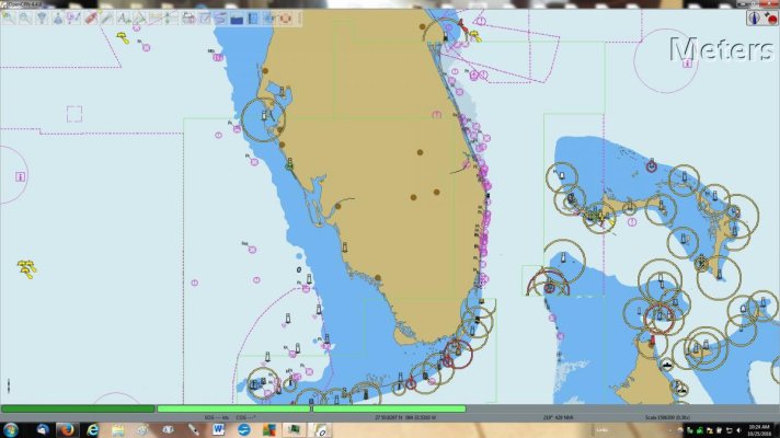
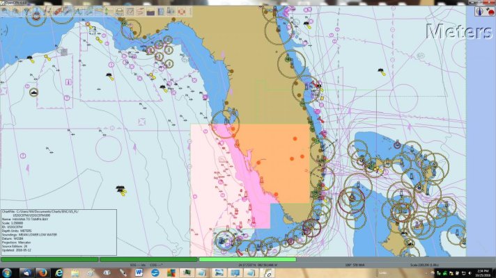
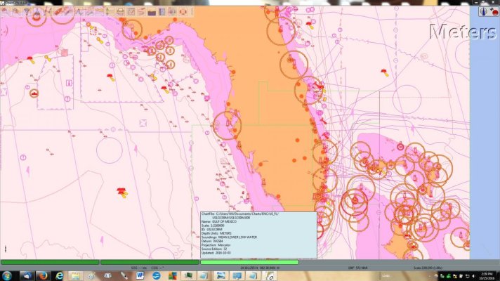
Still always the same problem. I want to go across Florida via the Okeechobee Waterway. Cannot get OpenCPN to show the Waterway with an ENC (vector) chart. It just won't show up on the land portion of Florida. Part of it shows in the Ft. Meyers Inlet area, but only the basic 'brown land' shows in the Florida peninsula part. No waterway. The green chart outline for the waterway shows on the brown basic land, but no waterway when I zoom in closer. I also installed (both were done via the 'Chart Downloader') the Gulf of Mexico ENC chart and it works fine, as does other charts I've installed. I even tried the NOAA Raster Chart of the same name (again via Chart Downloader) and sections of the Waterway would show up, but not the whole Waterway. Again. I have also hooked up my GPS puck to OC and not, no difference. The boat icon shows up when I hook up the GPS puck (GlobalSat BU-353S4), so that's working too.
Would some of you fellow OC users please install the Florida State "Okeechobee Waterway St.Lucie Inlet to Fort Myers; Lake Okeechobee" ENC chart using the OC Chart Downloader on your copy (OC 4.4.0) of OC and tell me if the Waterway shows up?
Is this a bug in OC, a ghost in the machine, or is it my misunderstanding somehow of OC? At least knowing that would be helpful, thanks. I have copies of my OC Config and Log files, but not sure how to post them here if requested.
Here's a screenshot of the issue, the Waterway doesn't show up when zoomed in on:


