Portage_Bay
Guru
- Joined
- Oct 19, 2015
- Messages
- 2,651
- Location
- United States
- Vessel Name
- Pacific Myst
- Vessel Make
- West Bay 4500
Agree, that's about the only use I see for overlay. The way I think of accuracy between radar and GPS/Plotter is radar doesn't lie. Of course that's not true, you have to learn to adjust and tune the radar. And you have to learn to interpret what you see. But GPS and electronic charts can be less than truthful yet look like everything is hunky dory.Even if you don't normally use the overlay (I wouldn't for those same reasons you listed) it may still come in handy occasionally to check the positional alignment of a chart in areas where you're not quite confident in the charts. As in "does the land the radar sees line up with the land the chart sees, or is the chart off?"
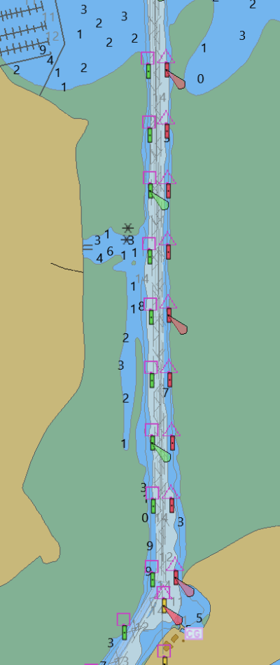
On a repositioning trip not too long ago with a couple of young crew who I felt were putting far too much faith in the GPS and plotter I was handed a teaching moment. As we were entering Bodega Bay and in the part of the channel that runs north the plotter showed us up on the mud flats while eye balls and radar agreed with each other and showed us mid channel. I called them to the wheel house and said "Look at the plotter, look a the radar, look out the windows. This is why I want you to use the radar, not just the plotter."
I've seen a few other examples but that one was so easy to instantly understand. A couple of lines of day marks and lights. All you had to do was stay between them.

