Active ---- -We have been using Navimatics with Active Captain for awhile now, and really like it. Any comparison comments between Navimatics and Garmin Blue Chart Mobile you feel comfortable making?
I don't mind saying what I really think about these apps.
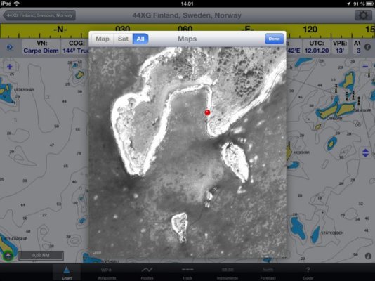
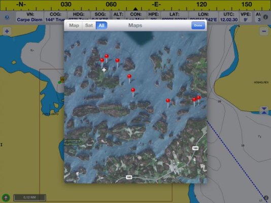
Outside of my software work, on my trawler, I used Navimatics for 3 years (it came out 2 years, 10 months ago and I tested it a few months earlier). It has the best support for ActiveCaptain today and allows all data to be updated today. When we're underway and pass a marina, we'll often look up their fuel price in Navimatics and if it isn't current, we'll update it right there. Navimatics is fast and the absolute quickest at searching.
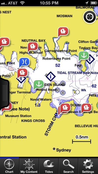
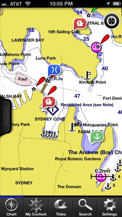
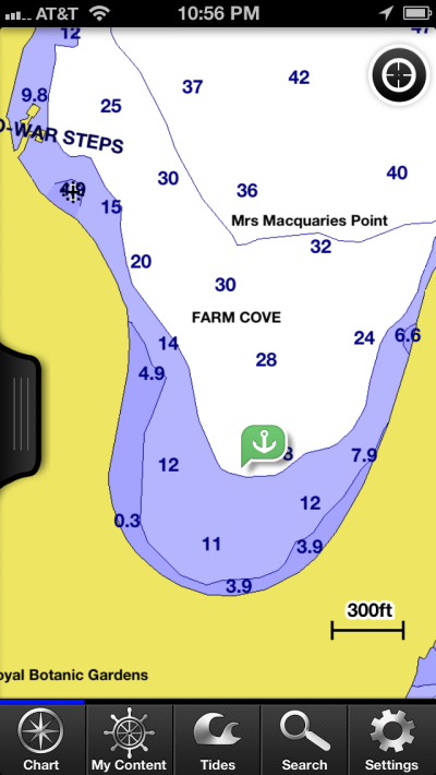
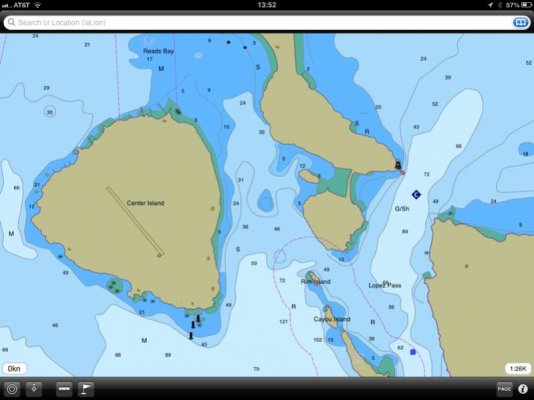
The problem with Navimatics is the charts. It uses NOAA's S-57 ENC data and optionally Canadian CHS S-57 data. The Canadian data is all pretty good. The NOAA vector data doesn't exist for many places even along the ICW. The area just north of St Augustine is a good example. NOAA has concentrated on the more commercial areas and has been slow to finish digitizing all of their charts. I like Navimatics tide and current display and still sometimes use it for that. There is nothing that beats Navionics tide/current display and I occasionally even use that.
The thing with Garmin is the chart data. First, it's worldwide and it's as complete as it can get. When there is missing data or in much of the world outside the US, they digitize it themselves. I've been outside Kansas City in their headquarters where it's done and it is a huge operation.
Garmin also integrates weather in a wonderful way. They are the best product that exists at creating routes by touch. I'm going to steal some of their ideas - they're just brilliant. Other parts of their user-interface are elegant with new ideas that make great sense for boating. They've gone a step further in many ways of usability. iNavX could learn a thing or two from a study of BCM and the use of touch and control on a glass surface.
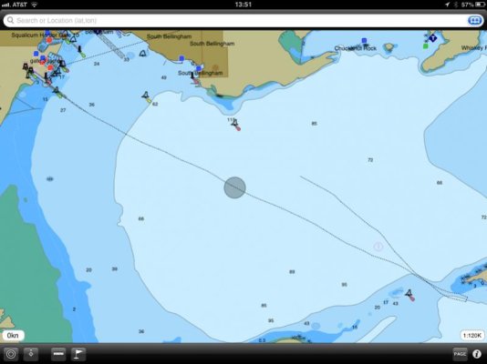
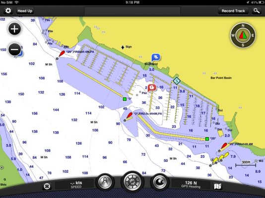
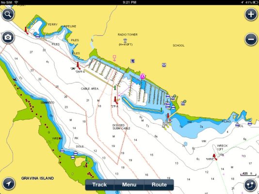
Garmin does another step with all of this though - data presentation - that no one else does. For the other products, it's almost just enough that they display the nautical charts. Garmin does it with quality. My comparison with Navionics shows that:
[FONT=monospace, courier]https://activecaptain.com/BCM-Navionics.php[/FONT]
Some content changes with zoom so it's hard to make a perfect comparison. I tried to show the quality of the graphic design mostly in those shots.
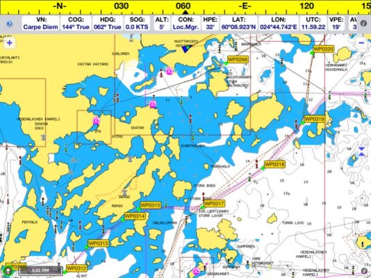
And it's not just the design and quality of the display. It's also the data itself. Garmin licenses the best data available when there is data available. For the Bahamas, it's the Explorer set of data and it's included with the US region (I'm not sure why they provided licensed data like that for the US but they did). The screenshot comparison from the Bahamas above makes that issue quite clear. The Garmin data is just better.
What I also see with Garmin is a big effort in place to continue the development and enhancement of the product. To be fair, this is true with SEAiq and SailTimer too - both are still in obvious development. But what I like about the Garmin product is that they're the only one pushing me (except for Coastal Explorer who pushes too). They don't wait for me to release a feature - they're coming to me bothering me about "when can we do XYZ". I know my part of what's coming in the next Garmin release because it was completed 2 months ago. What's really cool is that this month I provided them the API for their 3rd version of capabilities. They were the first company who sent me weekly emails asking for a date when it would be available.
The bottom line is that Garmin is totally committed to this product as a new generation of planning tool and underway plotting tool. They're somewhat late to the party of charting software for iOS and had no choice but to make their product a step above the others. Their product does a lot for the money - and it's hard to imagine not getting it because the cost is so low. I spent more in 2-day shipping to get old C-Map chips years ago for just the east coast than the whole US/Bahamas dataset with software running on all my iPads/iPhones costs here with BCM.
The standard product in this space has been Navionics. Garmin eclipsed them in a number of ways. That's good for all of us because it'll spark more innovation and make all of this better with more choices for everyone. Marketing-wise, my perception is that Garmin is pushing Navionics against the wall and exposing some of the issues they have with even having a chartplotter product. It will be fascinating to watch what develops from this and what Raymarine might do.
Who needs TV drama when real life is so much more interesting!

