ranger58sb
Guru
- Joined
- Aug 21, 2013
- Messages
- 7,339
- Location
- Annapolis
- Vessel Name
- Ranger
- Vessel Make
- 58' Sedan Bridge
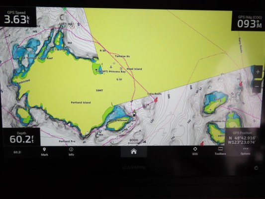
Chart plotter was old as well, basically a picture of charts ("navnet"), some of which had little detail, and the depth sounder was not working well either.
Maybe one of their NavNET 3D (NN3D) MFDs with TimeZero display? If so, would have been your choice of NOAA raster charts (pictures of paper charts), NOAA vector charts, C-Map vector charts, and Navionics vector charts up 'til I guess Garmin ended that.
-Chris

