Underway Today

The friendliest place on the web for anyone who enjoys boating.
If you have answers, please help by responding to the unanswered posts.
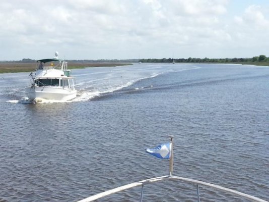
Case in point they are all following the marked channel regardless of their draft. I don't, I go the shortest distance where there is enough water. It's not a road out here, that's much of the joy of the freedom.

Can you elaborate on this? Not sure I understand it totally. Like where are you talking about?
 
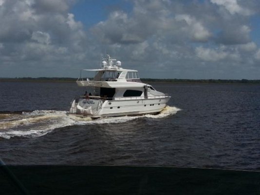
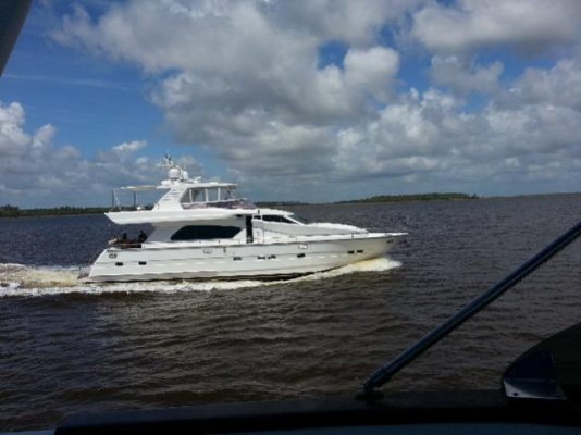
Yup, he is. Even though they are fantastically beautiful on the water, they are even more incredible to see out of the water. What a hull.
I was not aware that the Hinkley Picnic Boat is a Tad Roberts design.
 
Can you elaborate on this? Not sure I understand it totally. Like where are you talking about?
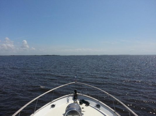
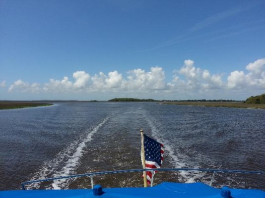
If you look at my track right now you will see me running rhumb lines instead of the channell.
 
Can you elaborate on this? Not sure I understand it totally. Like where are you talking about?
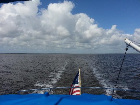
I'll take a shot at this...

Instead of normally running point to point, cut the corners off where there's enough water saving on distance traveled.

Am I correct?
 
I know some of you are here only for the porn

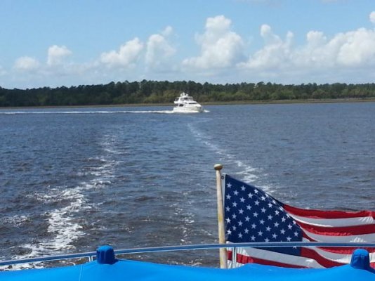
ForumRunner_20130418_113225.jpg


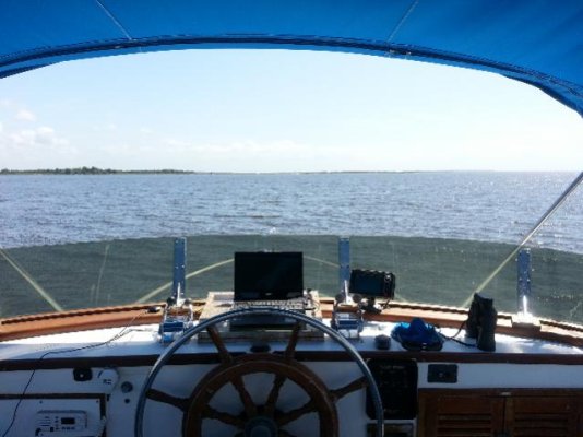
ForumRunner_20130418_113249.jpg
 
Cruiser's Net » Archive » Cruisersnet Marine Map

Be careful when you get here! AICW North of Ben Sawyer Bridge to Isle of Palms Bridge (Statute Mile 460, South Carolina ICW)

A buddy of mine went through a couple of weeks ago and there were three or four boats grounded. They are seeing 2' depths in there @ MLW.
 
What a labyrinth of turns and corners and switchbacks, no wonder you want to go offshore (if your in a hurry).
 
If you look at my track right now you will see me running rhumb lines instead of the channell.

I don't know why, but the AIS info does not show on my laptop. I have not been able to follow you at all... ever.
 
Go to marinetraffic.com search Grace select show track and Bobs your uncle
 
Go to marinetraffic.com search Grace select show track and Bobs your uncle

I have tried that for years to no avail. Sorry. I am internet AIS blind.
 
If all else fails get a teenager to do it
 
Cruiser's Net » Archive » Cruisersnet Marine Map

Be careful when you get here! AICW North of Ben Sawyer Bridge to Isle of Palms Bridge (Statute Mile 460, South Carolina ICW)

A buddy of mine went through a couple of weeks ago and there were three or four boats grounded. They are seeing 2' depths in there @ MLW.

Daddyo, if you're pushing through today, high tide is about 2:30 p.m. near Isle of Palms, which should put about 4+ extra feet under your keel going north.

Tides for Breach Inlet (Isle of Palms)
 
To find Daddyo-you may need to go to the "Vessels" tab, enter "Grace" in the search, the page for Grace pops up, and on the left middle is "Show Vessel's Track", click that and Daddyo will pop up in the Edisto River!
 
Daddyo-are you trying to make Charleston tonight? Looks like it is going to be a long day for you to make it.
 
Beach-The Edisto is classic low-country SC. Still a pretty wild area of SC. Home of the Gullah, descendants of West African slaves, that have lived there since the early 1700s. They still speak "GeeChee", a patios mixture of old English and West African languages. A fascinating culture that is unfortunately dying with the development of the lower SC coast.

Most people know the Gullah as the famous "basket weavers" around Charleston.
 
I try not to have a plan, just see where sea and tides take me
 
Back
Top Bottom